EscarpmentModerate
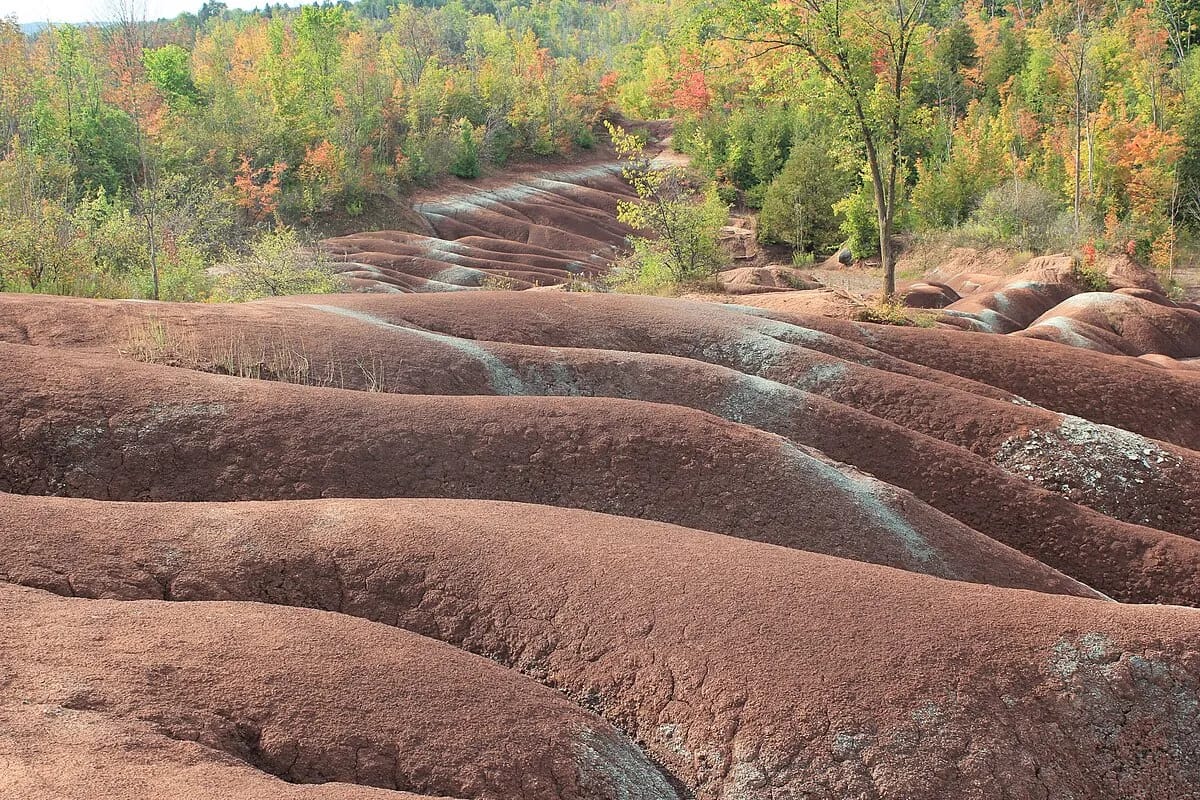
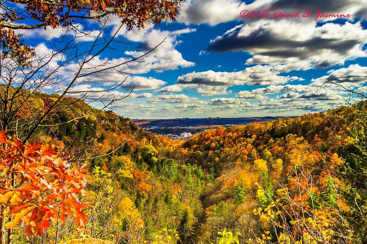
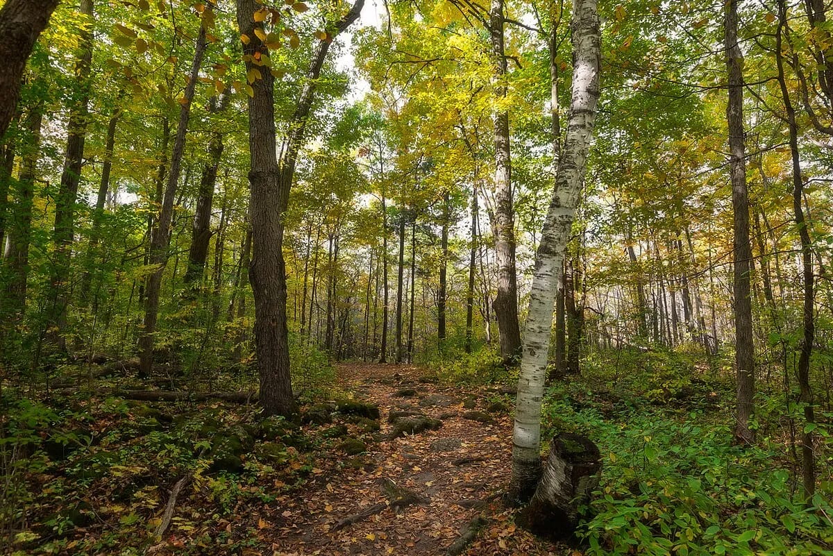
Forks of the Credit Provincial Park
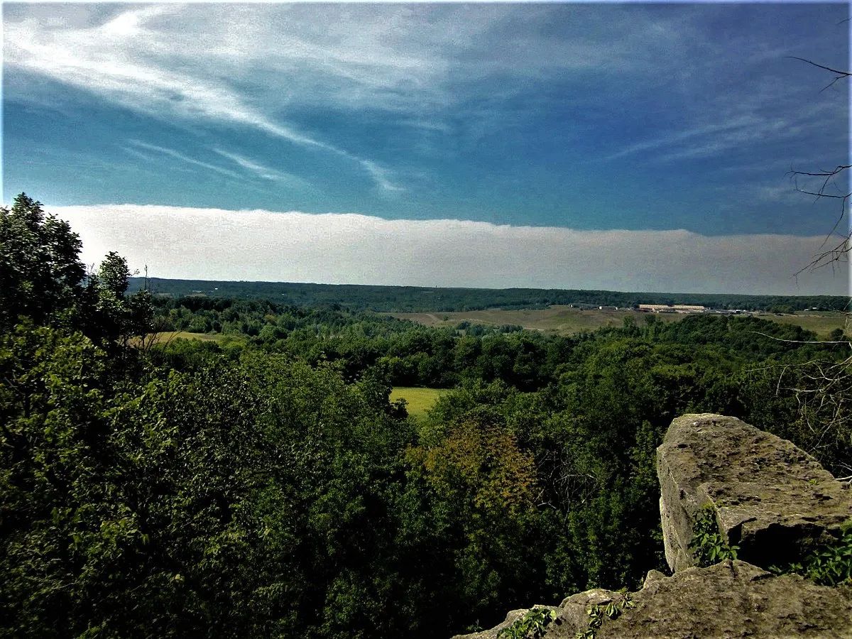
A compact but stunning provincial park where the Credit River carves through the Niagara Escarpment, creating dramatic waterfalls, limestone gorges, and old-growth forest. The 5-kilometre trail network includes a riverside walk to a 22-metre waterfall and panoramic views from the escarpment edge — all just 50 minutes from downtown Toronto.
5 km2-3 hoursDirt