Check before you go
Dogs are permitted only when leashed and physically controlled. Trail conditions and closures change; check Parks Canada's current trail list before travelling.
Length
1.5 km
Surface
Dirt
Type
Out & Back
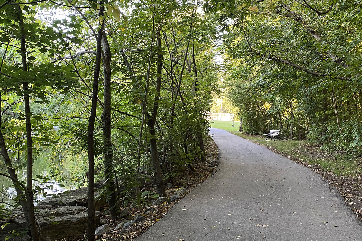
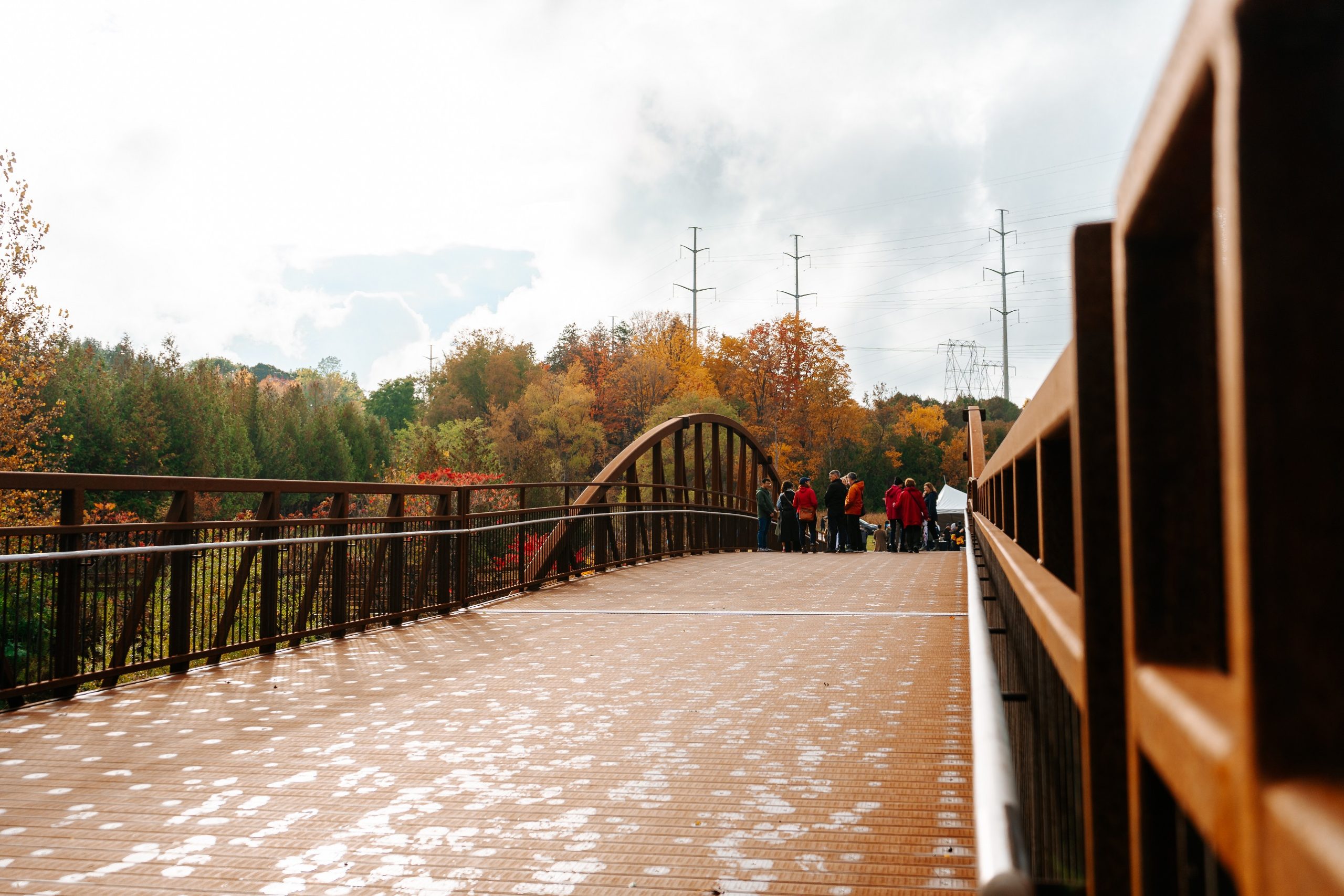
A 1.5-kilometre one-way Parks Canada trail through Little Rouge Creek forest to a two-level viewing platform over the Rouge River valley. The moderate route includes slopes and stairs and takes roughly one to two hours out and back.
Very Toronto Tips
Rouge is too large to treat as one generic loop. This page covers the Vista Trail specifically; use Parks Canada's trail list to choose longer options such as Mast, Monarch, or Northeast.
Highlights
Amenities
- Dog-friendly
- Stroller-friendly
- Washrooms
Getting There
Transit
From Rouge Hill GO station, it's a 15-minute walk or short bus ride north. TTC bus 85B or 86A from Scarborough Centre station stops near the Zoo Road entrance.
Parking
Parking at Zoo Road Day Use Area. Alternate parking at Pinegrove Park and Glen Rouge Campground. Free admission.