Length
4 km
Elevation
60 m
Surface
Mixed
Type
Loop
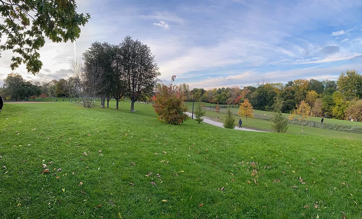
A peaceful 4-kilometre ravine trail cutting diagonally through midtown Toronto, connecting the Beltline Trail to the north with Heath Street to the south. The deep forested valley follows Castle Frank Brook through a surprisingly wild landscape of mature trees, meadows, and creek crossings, all hidden below the surrounding residential streets.
Highlights
Amenities
- Dog-friendly
- Stroller-friendly
- Washrooms
Getting There
Transit
Eglinton West/Allen station (TTC Line 1) is a 3-minute walk north of the Ava Road entrance. St. Clair West station provides access to the southern end of the ravine.
Parking
Limited street parking on Ava Road and surrounding residential streets. Best accessed by subway.
Seasonal Notes
Best: FallThe ravine floor can be muddy after rain. Some sections are steep. In winter, unpaved sections are not maintained and can be icy. Cross-country skiing is popular on snowy days.