Length
56 km
Surface
Paved
Type
Out & Back
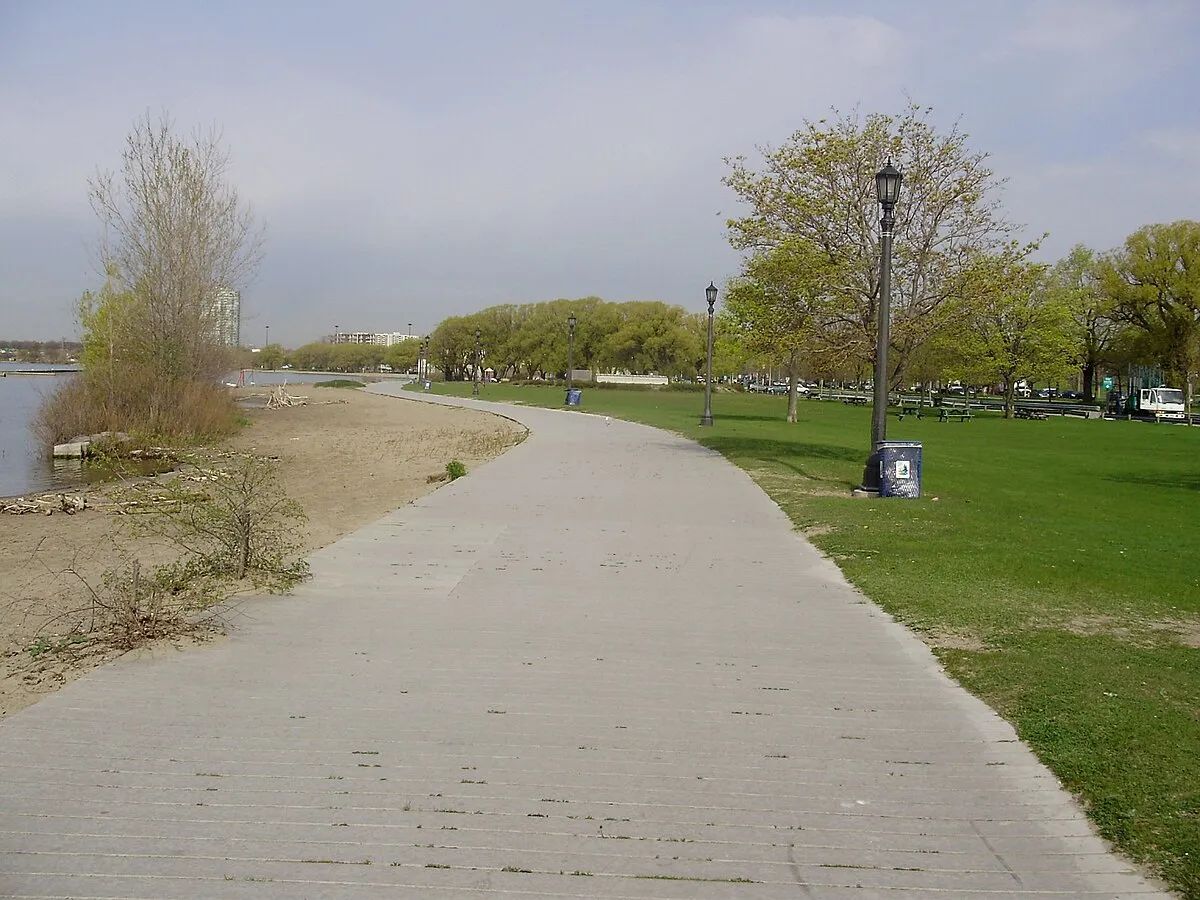
Toronto's premier 56-kilometre waterfront multi-use trail stretching along the entire Lake Ontario shoreline from the Humber River to the Rouge River. Named after the late Toronto Star editor, this paved pathway connects beaches, parks, marinas, and neighbourhoods, offering uninterrupted lake views and fresh breezes year-round.
Very Toronto Tips
You don't have to do all 56 km. The sweet spot is the 8-km stretch from Humber Bay Arch Bridge to Cherry Beach — you get the iconic skyline view, the harbour, and two beaches. On a summer evening, the sunset over the lake from the Humber Bay bridge is as good as anything you'll see in the city.
Highlights
Amenities
- Dog-friendly
- Stroller-friendly
- Washrooms
Getting There
Transit
Multiple TTC access points: Union station (walk south to Queens Quay), Exhibition (near Ontario Place section), Woodbine (near the Beaches). Queens Quay streetcar (509/510) runs parallel to the central section.
Parking
Paid parking at various points including Ontario Place, Sunnyside Pavilion, Cherry Beach, and Woodbine Beach. Green P lots near Queens Quay and Harbourfront Centre.
Seasonal Notes
Best: SummerOpen year-round. Summer is peak season with heavy cyclist and pedestrian traffic — be alert. Winter can be windy and icy near the lake.