Length
6 km
Elevation
20 m
Surface
Paved
Type
Out & Back
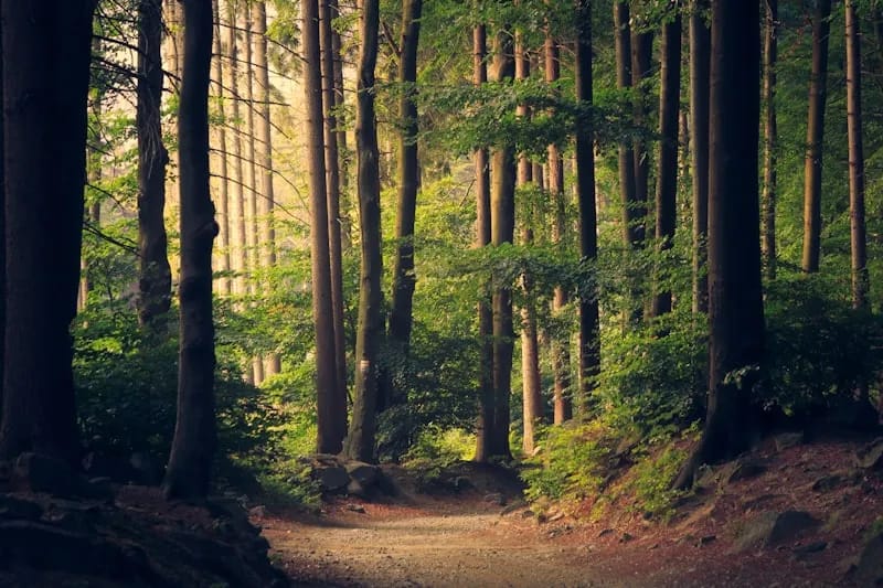
A 6-kilometre paved multi-use trail following the East Don River from Sheppard Avenue south to the forks of the Don at Don Mills Road. The trail passes through deep ravine forest, crosses multiple pedestrian bridges, and connects to the wider Don Valley trail system — a key link in Toronto's north-south ravine corridor.
Highlights
Amenities
- Dog-friendly
- Stroller-friendly
- Washrooms
Getting There
Transit
Leslie station (TTC Line 4 Sheppard) is a 5-minute walk from the trailhead at Sheppard and Leslie.
Parking
Free street parking near the Sheppard Avenue trailhead. Additional parking at Charles Sauriol Conservation Area.
Seasonal Notes
Best: Year-roundPaved and accessible year-round. Some sections flood during heavy spring rain. The deep ravine provides shelter from wind. Salmon run visible in October at the Forks of the Don.