Length
9 km
Elevation
30 m
Surface
Gravel
Type
Out & Back
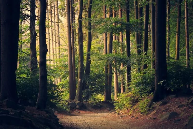
A 9-kilometre walking and cycling trail built on a former railway corridor that once encircled midtown Toronto. The flat, tree-lined path passes through residential neighbourhoods, dips into the Moore Park Ravine, and connects Cedarvale Park to the Don Valley — one of the best urban rail trails in North America.
Highlights
Amenities
- Dog-friendly
- Stroller-friendly
- Washrooms
Getting There
Transit
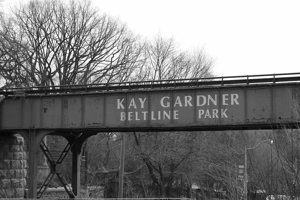
Multiple subway access points: Eglinton West/Allen station (west end), Mount Pleasant (near Davisville), and Rosedale station (Moore Park Ravine section).
Parking
No dedicated parking lots. Street parking available along the trail on side streets. Best accessed by transit.
Seasonal Notes
Best: FallOpen year-round. Very popular for commuter cycling — keep right and be alert. The Moore Park Ravine section is particularly beautiful in autumn.