Check before you go
The full 16-kilometre corridor is still being built and restored. Use The Meadoway's current public-access map and obey work-zone closures.
Surface
Mixed
Type
Out & Back
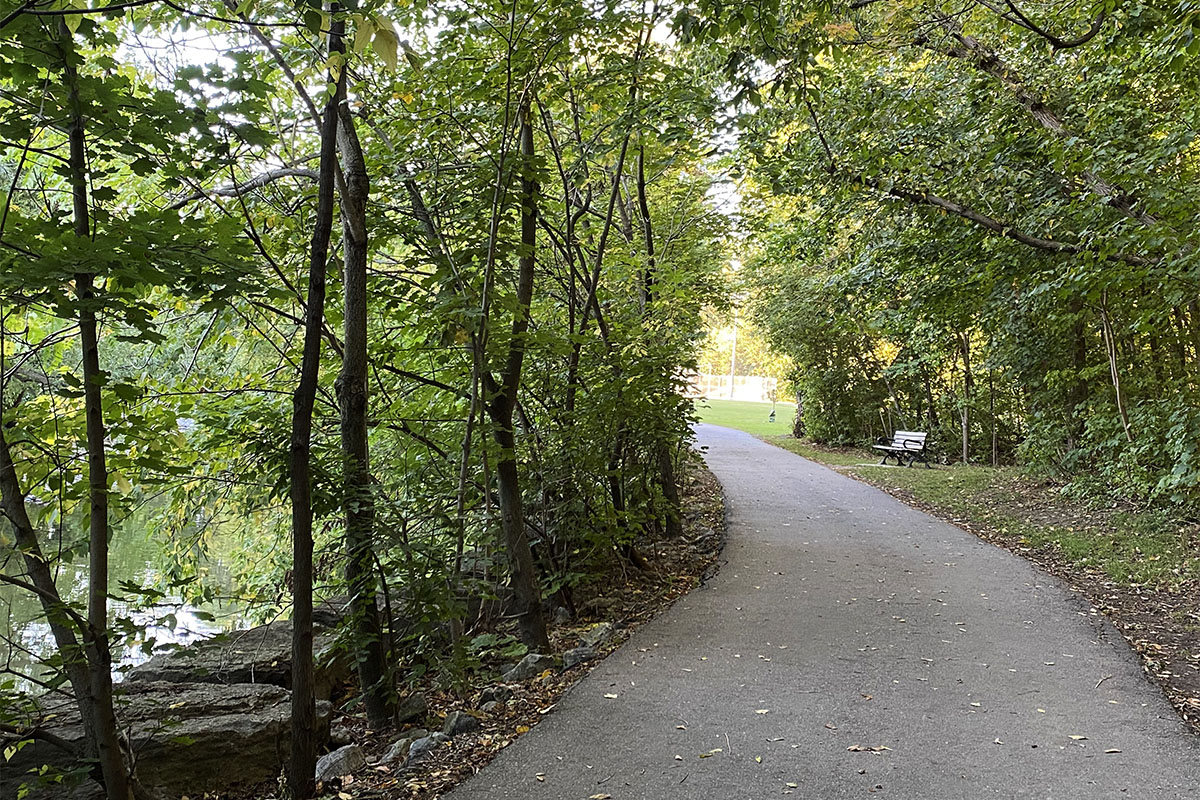
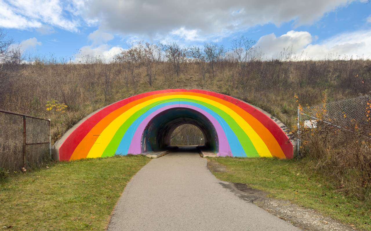
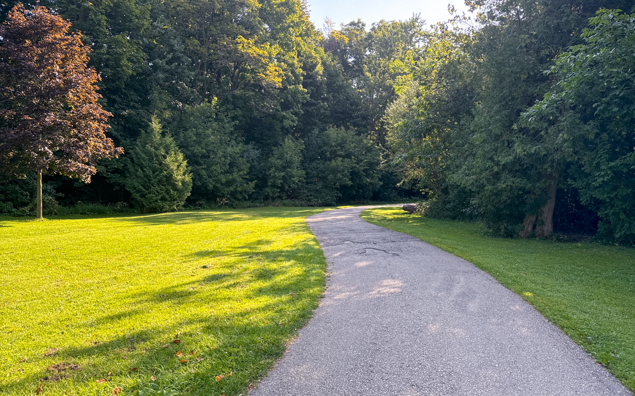
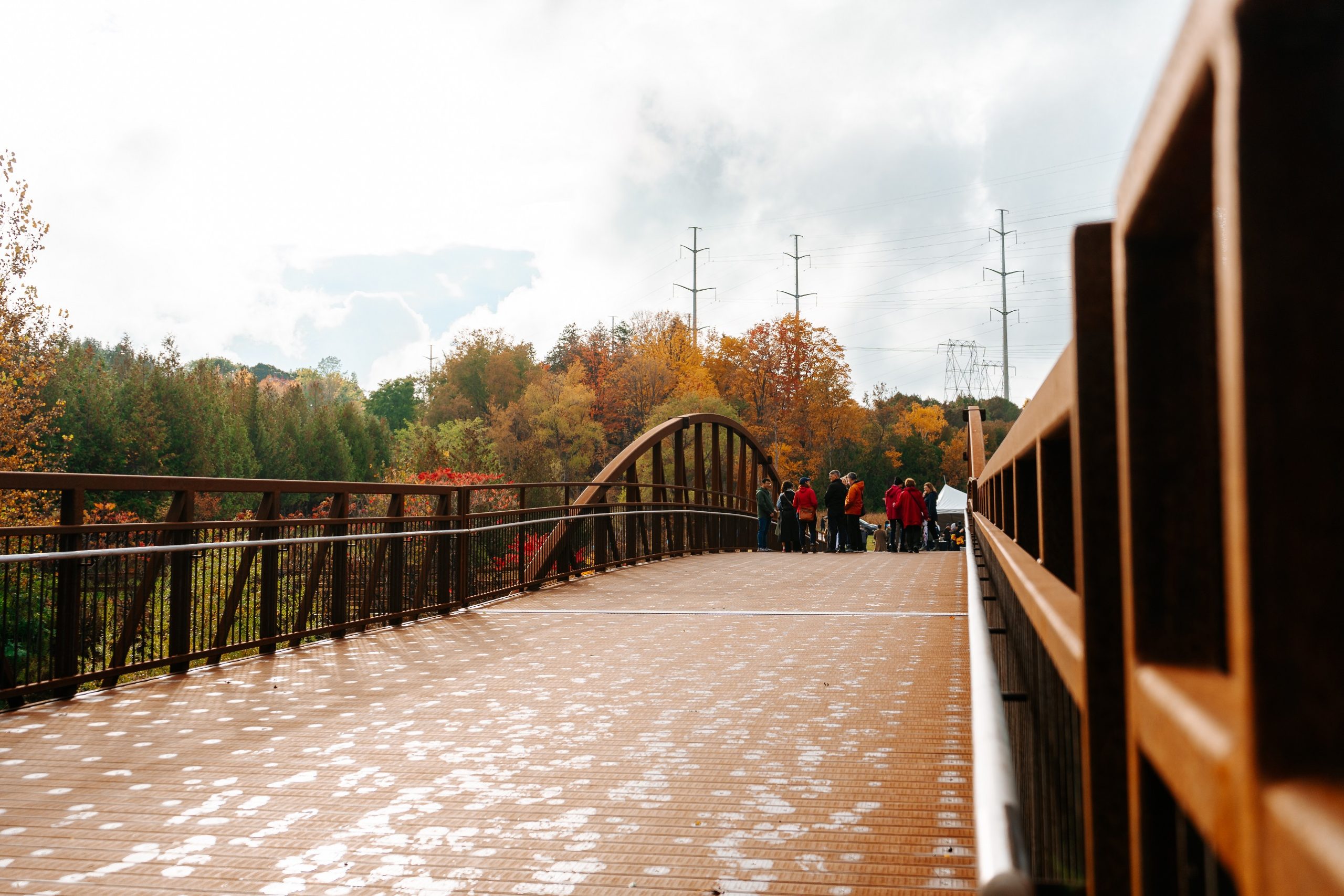
A transforming Scarborough hydro corridor of meadow habitat and multi-use trail. The completed vision spans 16 kilometres between the Don Valley and Rouge National Urban Park, linking seven river systems, 15 parks, and 13 neighbourhoods—but the route is not yet continuous.
Very Toronto Tips
Come for the scale of the experiment: ordinary hydro land becoming pollinator habitat and useful cross-city green space. The best visit is planned from the official public-access map, because construction and restoration move from segment to segment.
Highlights
Amenities
- Dog-friendly
- Stroller-friendly
- Washrooms
Getting There
Transit
Multiple TTC routes cross the corridor. Choose an open segment on the official public-access map before planning your trip.
Parking
Parking varies by segment; transit is usually the simplest way to do a one-way walk.